The Snowman Trek in Bhutan is often considered one of the most challenging treks in the world. This epic journey takes you through the stunning landscapes of the Bhutan Himalayas, covering a distance of approximately 300 kilometers with a total elevation gain of 16,000 meters.
The trek starts in Paro and takes you through the remote and high-altitude regions of Haa, Laya, and Lunana. Along the way, you’ll cross 11 mountain passes above 4,500 meters, with five of them exceeding 5,000 meters. The trek offers breathtaking views of some of Bhutan’s highest peaks, including Mt. Gangkhar Puensum and Mt. Jomolhari.
One of the highlights of the Snowman Trek is the chance to experience the pristine wilderness and encounter the elusive snow leopard. The trek also provides an opportunity to immerse yourself in the unique culture of the Bhutanese people and visit ancient monasteries and sacred sites.
Despite its challenges, the Snowman Trek is a rewarding adventure that leaves trekkers with unforgettable memories and a deep appreciation for the natural beauty and cultural heritage of Bhutan.
Details about the package
What's included
- All meals (Breakfast, lunch and dinner)
Lunches may be provided in other tourist Restaurants or picnic lunches in certain cases (While on tour). During Trek, all lunches shall be packed lunch. - Accommodations;
While on Tour accommodation shall be provided in a minimum 3 star hotel. Tented accommodation shall be provided during trek.
- Certified, English speaking guide throughout the tour and trek
Language Guides may be available at an additional cost, however this shall entirely depend upon the requirements confirmed at the time of booking - Exclusive vehicle for all transfers as per the group size
- Entrance fees for museums and monuments
- Sustainable development fund
Indian Nationals – INR 1200 per person per night
Others – USD 100 per person per night - USD 40 Visa Fee (for travelers other than Indian Nationals)
- Other govt taxes applicable
- Sleeping tents, sleeping mats & pillows.
- Dinning tents, kitchen tent & toilet tent.
- Tables, chairs, utensils, hot water bags.
- Trekking Chef and Assistants.
- Horses/ yaks to carry trekking equipments and food supplies.
- Cost related to planning and confirming your trip to Bhutan excluding the cost not within our premises. Additional Cost may be applicable in certain cases.
Complimentary
- Assistance with Bhutan Travel Info
- Guidance in planning your Bhutan tour
- Drinking water during the tour
- A traditional cultural show
- Hot stone bath in a village house
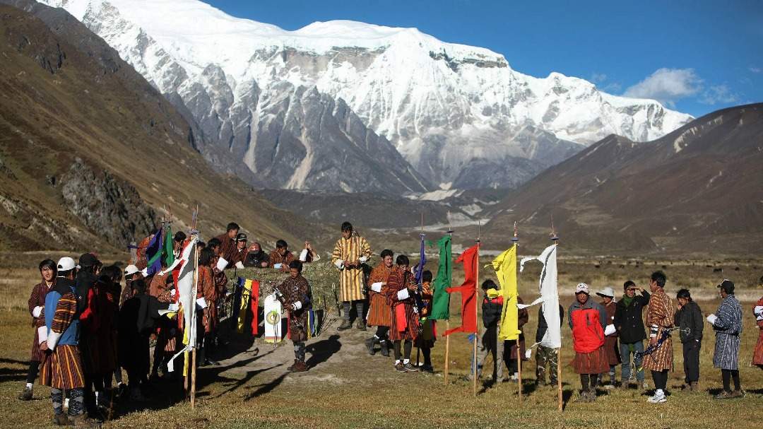
- National dress and Archery experience
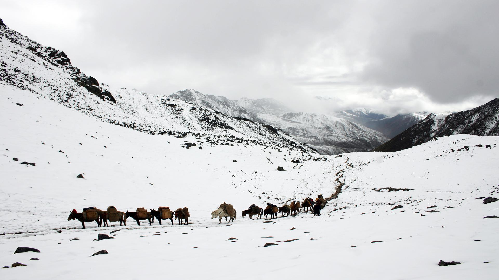
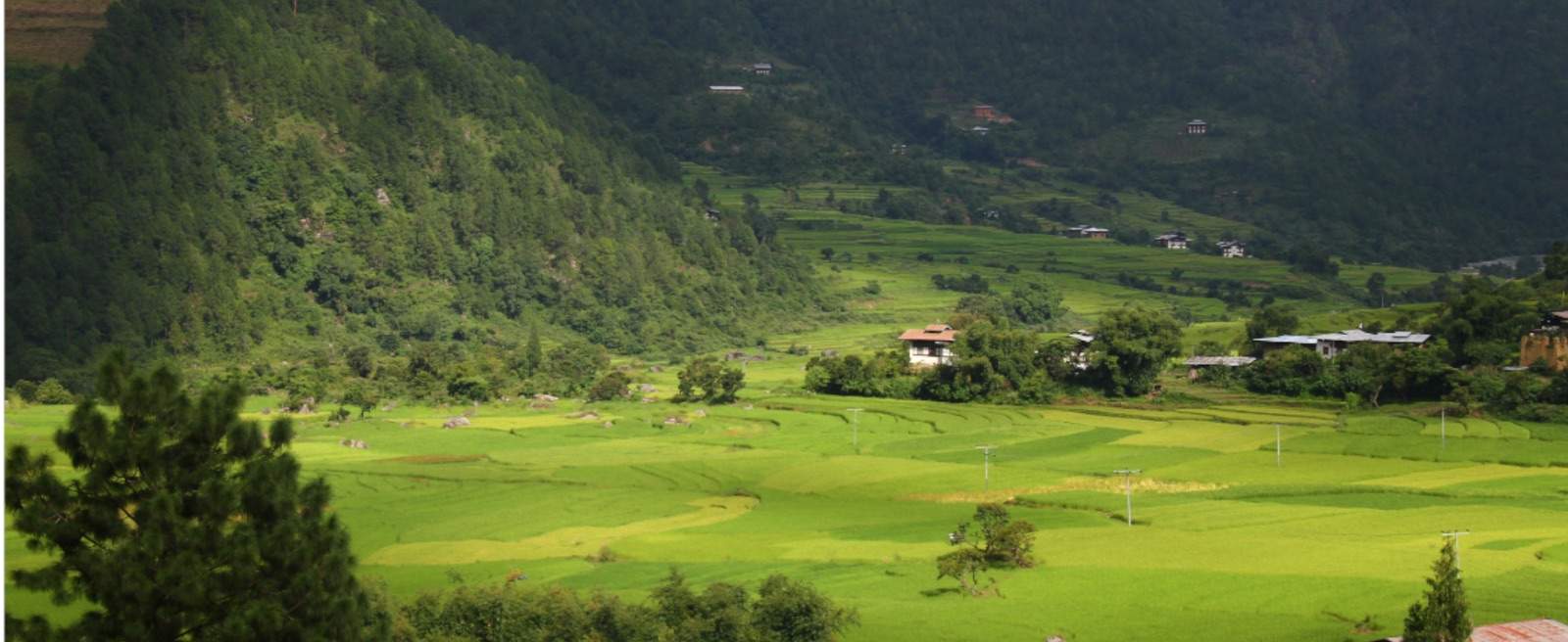
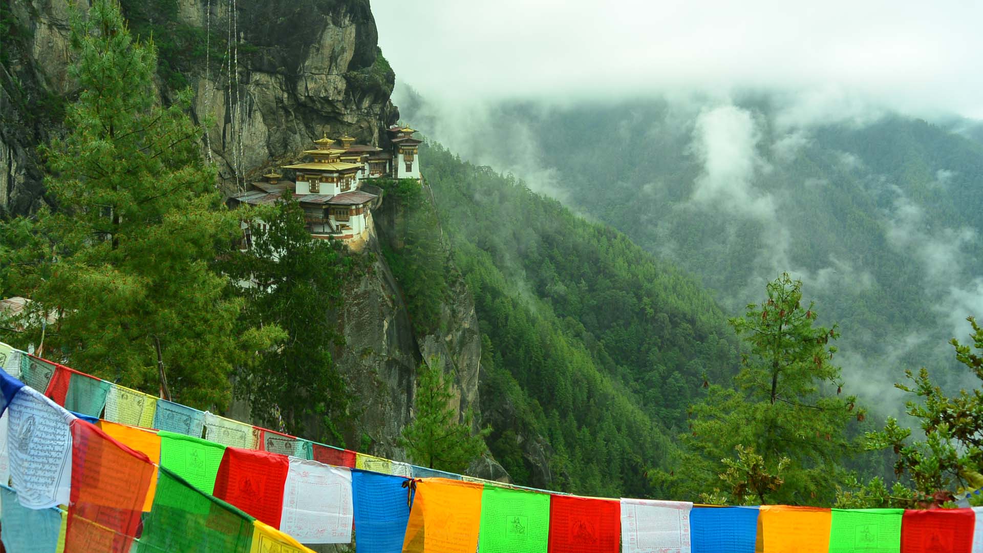
- Amongst World’s Toughest Trek: The pride of doing one of the world’s toughest treks.
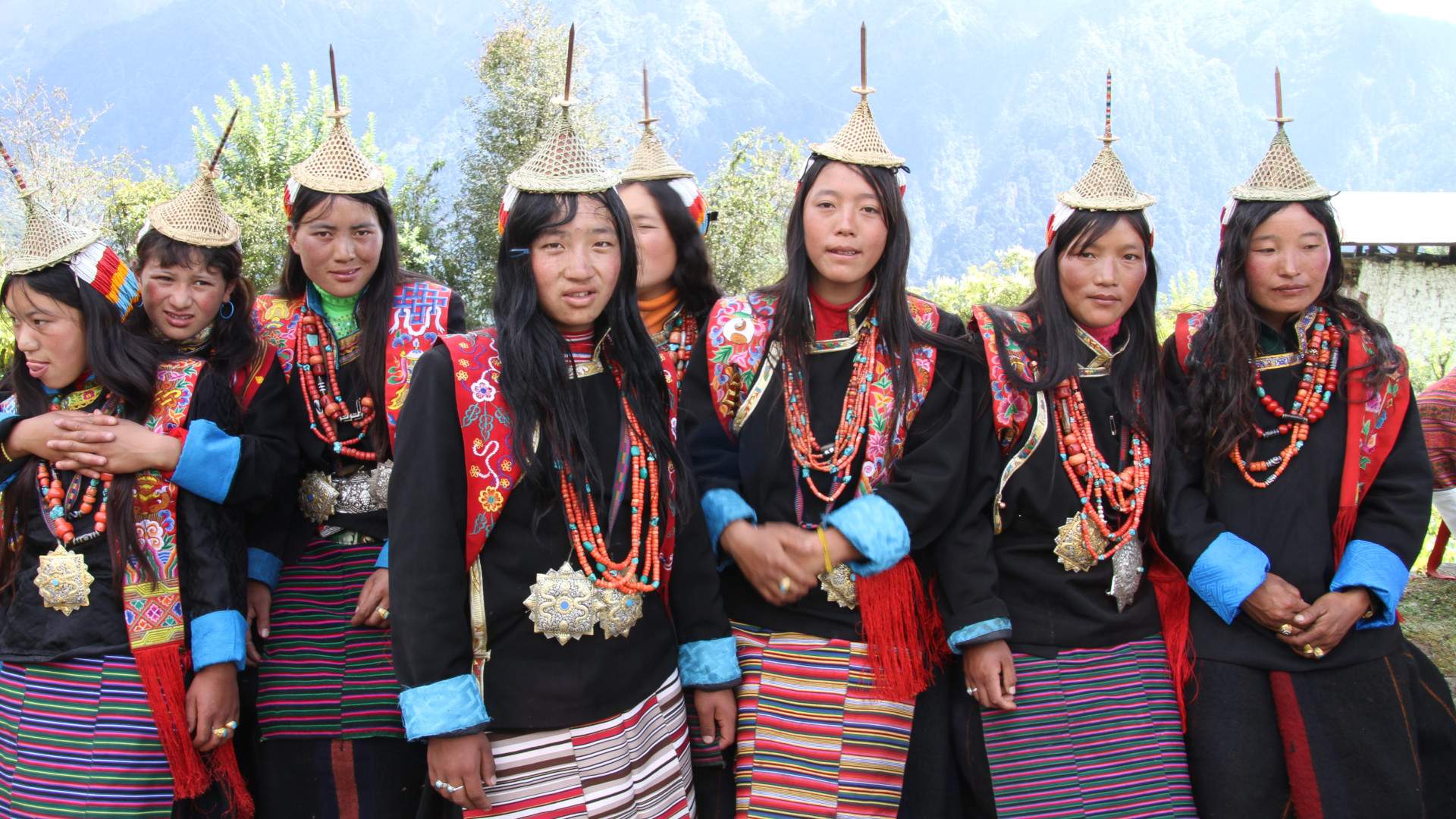
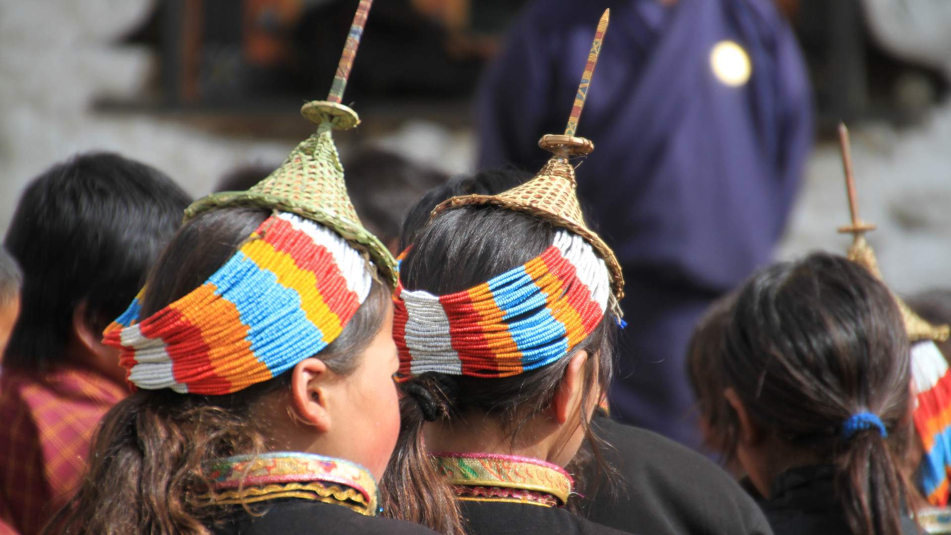
- Laya Village: Nestled in the breathtaking Bhutanese Himalayas, is a charming settlement known for its stunning landscapes and rich cultural heritage. Situated at an altitude of about 3,800 meters, it serves as a gateway to the renowned Laya Gasa trek. The village is home to the Layap people, who maintain a distinct way of life characterized by traditional customs and vibrant dress, including the iconic Layap coat.
- Stunning Landscapes: Experience breathtaking views of snow-capped peaks, lush valleys, and diverse ecosystems throughout the trek.
- Cultural Encounters: Visit the remote village of Laya, where you can immerse yourself in the unique culture and traditions of the Layap people.
- Flora and Fauna: Discover a rich variety of plant and animal life, including rare species native to the region.
- High-Altitude Passes: Challenge yourself with scenic high passes that offer panoramic views and a sense of accomplishment.
- Monastic Heritage: Explore ancient monasteries and dzongs that reflect Bhutan’s rich spiritual history.
- Starlit Nights: Camp under clear Himalayan skies, where the stars shine brighter away from city lights.
- Culinary Delights: Savor authentic Bhutanese cuisine, featuring local ingredients and flavors that enhance the trekking experience.
- Photographic Opportunities: Capture unforgettable moments with stunning landscapes and vibrant cultural scenes throughout the trek.
- Trip type: A Private and Guided Trip
- Trek Rating: Very Strenuous
- Travel Type: Trek, Nature, Culture, Walks, Hikes, Local Interactions & Experiences, Sights & Monuments
- Arrival: Paro international Airport
- Departure: Paro International Airport
- Trek Starting Point: Shana, Paro.
- Trek End Point: Sephu, Wangdue
- Duration: 27 Nights, 28 Days
- Destinations: Paro, Thimphu, Punakha, Wangdue & Gasa
- Best Time: Apr – Mid Jun & Mid Sep – Mid Nov
Travel Cost
Kindly write to us at idealtravelcreations@gmail.com for the travel cost as the cost varies in different cases.
The cost does not include the following:
- All kinds of bank charges
- Single room supplement
- Personal expenses, such as phone, laundry, etc.
- Any form of insurance
- Any kinds of bottled drinks
- Flights fares – both domestic and international
- Gratitude and Tipping
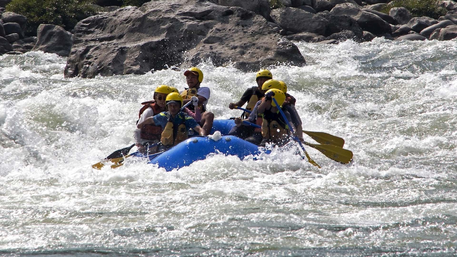
- Extra activities such as rafting, cycling, horse ride
(if not included in the inclusion or complimentary) - All kinds of additional expenses due to unforeseen contingencies whether man-made of natural
- Anything not mentioned in the cost inclusion during the confirmation of the trip.
Notes
- We reserve the right to change the itinerary or hotels anytime as may be required to, in case of unforeseen contingencies (natural/man made) or unavailability of hotels or any other services such as flights and transport.
- Some of the sites to be visited may be closed on government holidays or during breaks. In such cases we shall do other sightseeing in its place.
- This itinerary can be tailor made for any duration or within any destination and can be combined with any kind of activities such as trekking, rafting, walking tour, cycling , etc
- It is advisable to book tours in Bhutan at least 6 months prior to the travel date because of limited Bhutan tourism infrastructures and inventories.
- Except for the planning, guidance and information phase, all bookings are confirmed only after the receipt of the tour payment.
- Conversations made in the email are final and binding
Cancellation Policies
- We shall charge a minimal amount of USD 30 as administrative charges for any bookings cancelled more than a month before the date of travel.
- 25% of the payment shall be charged as cancellation charges for any bookings cancelled within one month to 16 days from date of travel.
- 50% of the payment shall be charged as cancellation charges for any bookings cancelled within 15 days to 7 days from date of travel.
- 100% cancellation charges shall be applicable for any any bookings cancelled within 6 days from date of travel or no show
- Cancellation charges shall also depend upon the policies of the parties from whom we have taken the services such as hotels and airlines. The cancellation charges levied by the external parties shall be applicable incase it exceeds the amount as mentioned above in points 1 – 4.
Itinerary
The panoramic Himalayan views shall be mesmerizing as you fly to Bhutan. The Landing is another experience. Upon arrival you will be greeted by your Bhutanese Guide from Ideal Travel Creations before driving to your hotel in Paro. Check in and spend some time in the property settling into your new surroundings.
Afternoon, you shall be taken for your first foray into this Hidden Kingdom. This afternoon in the Paro Valley shall allow you to acclimatize to the air at this altitude, as well as getting yourself introduced to this Kingdom where you shall spend the next 11 days.
Visit the Paro Rinpung Dzong, a Buddhist monastery and fortress of the Drukpa Lineage of the Kagyu school in Paro. The Monastic body and government office of Paro is housed in this fortress and is listed as a tentative site in Bhutan’s Tentative List for UNESCO inclusion. Visit the Paro National Museum, which displays a collection of fascinating Bhutanese relics.
Explore the Paro Town. Visit Coffee shops, handicraft shops and interact with the locals.
Spend your evening in the quaint setting of hotel. Dinner and overnight in the hotel.
ALTITUDE OF PARO: 2280 M
Note: The sightseeing and activities of day 1 is subject to flight timings)
Your day starts with an early morning hike to Taktshang Monastery, one of the most wonderful and significant monasteries in Bhutan. Also known as the Tiger’s Nest, the hike shall be accompanied with stories of Guru Rinpoche, who arrived on the spot where the monastery is located on the back of a flying tigress somewhere in 8th century. Reaching the top shall enlighten you on why the Monastery is an iconic pilgrimage for visitors to the Kingdom of Bhutan.
In the afternoon drive to the almost fully reconstructed Drukgyel Dzong. The original monument (destroyed by fire in 1951) was built by Zhabdrung to commemorate his victory against invading Tibetans in 1644. In fine weather the towering peak of the sacred Mount Jomolhari (7314m) appears as a stunning backdrop.
(If time permits) Visit Kyichhu Lhakhang, a 7th-century temple nearby with two magical orange trees that bear fruit throughout the year.
Drive back to the Hotel. Dinner and Overnight at the hotel.
ALTITUDE OF PARO: 2280 M
PARO – SHANA
DRIVING DISTANCE: 29 KM | DRIVING TIME: 1 HR
SHANA – SOI THANGTHANGKA (START OF TREK)
21 KM | 8 HR | 770 M ASCENT | 10 M DESCENT
After breakfast, drive to Shana, your trekking crew will be waiting here.
After getting yourself for the trek and gettimng to know your crew members. Start your trek to Thangthangka. The trail follows the river through a heavily forested area with a few isolated farmhouses. It narrows and closes in and the trail winds up and down along the drainage. We pass a junction enroute, where another path leads north over the Tremo La to Tibet.
Camp is in a meadow with a stone shelter.
ALTITUDE OF CAMPSITE: 3610 M
17 KM | 6 HR | 290 M ASCENT
Today’s trek shall take you above tree line at 3700 m. The trail ascends for a while till you pass a small army post in the morning, then the trail slowly leaves the forest line and gradually climbs into a beautiful valley, passing Tegethang, a winter home for yak herdsmen. Lots of yaks will be seen today before we arrive at the Jhomolhari base camp (4,115 m). High mountains overlook the camp. From here, the views of Mt. Jumolhari and Jichu Drake are superb. The ruins of an old fortress is visible nearby.
Jangothang base is a flat grassy land beneath the colossal Mount Jumolhari and Jichu Drake with an old ruined fortress on a hillock in the foreground, used to guard Bhutan against Tibetan invasions. Dinner and overnight in camp.
ALTITUDE OF CAMPSITE: 4040 M
Most trekkers show signs of altitude sickness at this altitude this night in Jangothang is highly recommended.
You may choose to simply relax at the camp enjoying the serene place or, taking some photographs around to gather energy for tomorrows trek. Another option could be to walk up to the Jhomolhari glacier or do the two hours excursion to the twin Tsho Phu lakes on the way to Bongtela Pass.
A hike to the north of the camp on an open endless slope till you see the view of Mount Jichu Drakye at 6989 m. Hiking further up till 4895 m shall give you the amazing view of Mount Jumolhari.
You are likely to spot rare blue sheep, Himalayan rhubarb, griffon vultures, golden eagles and the remarkable blue poppy.
Dinner and overnight in camp.
ALTITUDE OF CAMPSITE: 4040 M
18 KM | 6 – 7 HR | 800 M ASCENT | 730 M DESCENT
The trail follows the stream for half an hour and crosses the bridge to the right side. Start the climb up to the first ridge with a breathtaking view of Jumolhari, Jichu Drakey and Tsrim Ghang. Then walk towards the valley, almost flat for a while, until the climb to the Nyeley la pass at an altitude of 4,830 m. After the pass it’s a gradual descent to the Lingshi camp, enjoying the panorama view of the peaks and Lingshi dzong. Lingzhi Dzong used to serve as a way station for Buddhist pilgrims and defence fort against Tibetan and Mongol invaders for centuries.
Dinner and overnight in Camp.
ALTITUDE OF CAMPSITE: 4010 M
10 KM | 5-6 HR| 280 M ASCENT | 410 M DESCENT
Today is the shortest walking day and you can really take it easy. On reaching the campsite at Chebisa, you may visit the village houses. The trail climbs to reach Gom Yu village and cross a huge waterfall to reach Chebisa village and camp near the river.
ALTITUDE OF CAMPSITE: 3880
17 KM | 6-7 HR | 890 M ASCENT | 540 M DESCENT
You walk through a wide pastureland towards Goku La Pass and forest of dwarf Rhododendron to reach Shomuthang near the river. On the way, you will see few people herding the yaks. After crossing the Goku -la (Alt. 4350m) descend down to the valley. The campsite is on a bench above a river, which is a tributary of the Nochu river.
Dinner and overnight in camp.
ALTITUDE OF CAMPSITE: 4260 M
17 KM | 6-7 HR | 570 M ASCENT | 290 M DESCENT
As the walk is little strenuous today, it is advisable to start little early. We shall first climb till we reach Jari La Pass at and altitide of 4600 m. The snow capped peak visible to the south-east is Kangbum at 6526 m. We shall then descend down to Tsharijathang valley where you can normally see herds of Takins. This valley is the summer placve for the rare Himalayan Takins (The National of Bhutan). From here we shall cross a stream from where the trail ascends till you reach Robulathang.
Dinner and overnight in hotel.
ALTITUDE OF CAMPSITE: 4200 M
19 KM | 7-8 HR | 850 M ASCENT | 870 M DESCENT
Today you shall cross the highest pass in our entire trek. After crossing the Shingchenla pass, alt. 4900m, you come down and follow the valley. Lingmithang is under the Laya District and you will see people dressed in typical Laya costume with long pointed bamboo hats on their head. Camp at Lingmithang.
If you have time, it would be advisable to spend a day here exploring the valley and meeting the people who have a different and unique culture.
ALTITUDE OF CAMP: 4140 M
10 KM | 4-5 HR | 60 M ASCENT | 340 M DESCENT
You shall wake up to the beautiful view of Gangchenta Pass. After breakfast, we shall walk all the way downhill along a narrow winding river valley. The trail leads you to the west side of Laya village. You will pass through a damp forest, filled with moss and singing birds. It is a pretty long walk through this uninhabited valley. You will also see a waterfall as you follow this trail. Campsite is on a high flat bench above the Laya village.
ALTITUDE OF CAMPSITE: 3850 M
Nestled at an elevation of 3,800 meters in the breathtaking Himalayas, Laya Village is one of Bhutan’s most remote and enchanting destinations. Renowned for its stunning landscapes and vibrant culture, Laya offers travelers a unique glimpse into the traditional lifestyle of the Bhutanese people. Surrounded by towering mountains and pristine valleys, Laya is a paradise for nature lovers and adventure seekers. The village is situated near the border with Tibet, making it a part of the greater Lunana region, which is famous for its dramatic scenery and diverse flora and fauna.
The people of Laya are known for their rich cultural heritage. The village is home to the Layaps, a unique ethnic group with their own distinct traditions, language, and attire. Visitors can immerse themselves in the local culture by attending traditional festivals, sampling authentic Bhutanese cuisine, and participating in daily village activities. The vibrant dresses worn by the villagers, often adorned with intricate patterns, showcase their artistic craftsmanship.
19 KM | 7-8 HR | 900 M ASCENT | 70 M DESCENT
The trek descends to the Lunana trail junction before ascending to a hilltop that offers splendid views of the Mo Chhu and Rhodo Chhu rivers. The path follows the Rhodo Chhu Valley, initially winding through mixed conifer forests and later through rhododendron bushes, rising above the tree line. From the top of a large rockslide, trekkers are treated to a view of the glacial valley and the imposing Tsenda Gang glacier (7100m). Our camp is situated at Rodophu at an altitude of 4160m, just beyond a wooden bridge crossing the Rhodo Chhu river.
ALTITUDE OF CAMSITE: | 4160 M
17 KM | 5-6 HRS | 755 M ASCENT | 15 M DESCENT
Today’s trail follows the alpine grasslands teeming with yaks. The path winds along the river through rhododendron shrubs before turning right up the hill. You’ll climb to a high, open valley through meadows to reach the Tshomo La Pass (4915m), where the views of Mount Jomolhari and the Tibetan borders are absolutely breathtaking. Continuing, you’ll hike across a barren plateau intersected by several yak trails, eventually arriving at Narithang (4900m), your camp for tonight.
ALTITUDE OF CAMPSITE: 4900 M
18 KM | 6-7 HRS | 220 M ASCENT | 770 M DESCENT
Today, you will be climbing Ganglakarchung Pass at an altitude of 5120m. From the pass, you’ll enjoy superb views of Kangbum (6530m), Tsendhen Gang (7100m), Teri Gang (7300m), and Jejegangphu Gang (7120m). You’ll then descend through massive moraines to the edge of a sheer cliff, where you can view glaciers hanging from Teri Gang, forming two turquoise-colored lakes at the base. The lake to the left caused a flood downstream in Punakha in 1961, destroying the Mochu Bridge. Continue descending via a steep path to the U-shaped valley, following the Tangchu stream to the right, to arrive at your camp at 4350 m.
ALTITUDE OF CAMPSITE: 4350 M
16 KM | 5-6 HRS | 250 M DESCENT | 310 M DESCENT
Your trail descends through juniper forests along the left bank of the Tangchu River, passing by stunning waterfalls. After a gentle climb out of the valley, you will undertake a steep ascent to Woche Village, the first settlement in the Lunana region, situated at an altitude of 4350m. Woche village marks the beginning of the Lunana region, and from here, you can see the route to Ledhi for tomorrow.
ALTITUDE OF CAMPSITE: 4350 M
19 KM | 6-7 HRS | 300 M ASCENT | 450 M DESCENT
Begin the day by climbing up the Woche Valley and crossing a small stream to go over a moraine. Descend to a wooden bridge across the Woche Chu River, and then climb past a clear glacial lake to reach Keche La Pass (4650m), which offers magnificent views of nearby mountains, including the three-pronged peaks of Jejegangphu Gang. The trail then descends to Pochu Valley, reaching Thaga Village at 4050m. In the late afternoon, one can expect bitterly cold winds at Thaga Village in autumn. From Thaga Village, continue descending past scattered settlements and waterfalls to arrive at Lhedi (4200m) after walking along the Phochu River bed. Lhedi Village features a school, a Basic Health Unit, and a wireless station.
ALTITUDE OF CAMPSITE: 4200 M
19 KM | 5-6 HRS | 250 M ASCENT
Today’s trek is relatively easy. We’ll follow the north bank of the Phochu River, passing several small farms before reaching Chuzo Village (4090m) around lunchtime. Along the way, we’ll visit Chezo Dzong. Afterward, we’ll continue along the riverbed and then climb a steep hill overlooking Thanza Valley, reaching an altitude of 4250m.
ALTITUDE OF CAMPSITE: 4250 M
You have two exciting options for today. First, you can visit Thanza Village, an untouched, medieval-like society where people make their own clothes, hats, boots, and jewelry using hand-woven and dyed materials. Their homes are built from stone walls, hand-hewn wood shingles, and clay mortar, and they live on grains, yak meat, and cheese from the lower valleys.
Alternatively, you can hike through small moraine rocks to the clusters of Raphstreng Tsho and Thorthormi Tsho, the source of the Phochu River in Punakha. These lakes caused a flood in 1994 due to a moraine outburst. The view of the 7100m Table Mountain (locally known as Zongphu Gang) is breathtaking, with its 3000m high wall of ice and snow behind Thanza Village.
ALTITUDE OF CAMPSITE: 4250 M
18 KM | 7-8 HRS | 750 M ASCENT
You will climb towards a hill of large boulders to the south of Thanza. After a few hours of easy walking, you’ll reach Danji (4500m), a summer grazing ground for yaks. Here, you might also see herds of blue sheep grazing in the meadows. From Danji, we’ll climb a few hundred meters up to the top of a ridge, offering excellent views of the surrounding mountains. After walking for another 20 minutes, we’ll reach the junction of trails leading to Gangkar Phunsum and Tshochena. We’ll take the right trail that leads to Jaze La pass. At 5200m, Jazela pass provides majestic views of mountains in all directions. From the pass, the trail descends through snow-capped peaks and lakes to reach Tshochena, situated at 5000m.
ALTITUDE OF CAMPSITE: | 5000 M
14 KM | 5-6 HRS | 170 M ASCENT | 120 M DESCENT
Our trail follows the shore of a blue-green lake and then climbs to a ridge at 5150m, offering stunning 360-degree panoramic views of snowy peaks. From here, the road and microwave tower at Dochu La can be seen in the far distance. The trail undulates over small, rounded hills. We then pass a glacial lake and reach Loju La Pass (5170m), a yak pasture with numerous intersecting yak trails. We take a path that crosses a small saddle-like hill at 5120m, leading into a wide glacial valley. We descend further to reach Jichudramo Camp at 5050m, the highest campsite of our entire trek.
ALTITUDE OF CAMSITE: 5050 M
15 KM | 5-6 HRS | 300 M ASCENT | 950 M DESCENT
We’ll begin by climbing through a moraine path to the picturesque Rinchen Zoe Pass (5350m), which separates the Phochu and Mangdechu basins. From this pass, you’ll have stunning views of Gangkar Puensum (7520m), Bhutan’s highest mountain. The clear demarcation between the forests and the high-altitude barren areas is also remarkably visible from here. Descending through a broad marshy valley with strings of lakes, steep moraines, and yak pastures, we’ll reach Tampe Chu, nestled amidst rhododendron and juniper forests. We’ll set up camp at Thongsa Thang (4400m), a short distance from Chukarpo.
ALTITUDE OF CAMPSITE: 4400 M
19 KM | 7-8 HRS | 80 M ASCENT
We start our descent along the right bank of a river, reaching Galapang yak pasture at 4025 m. From there, we will climb steeply through forests of junipers and silver firs until we reach Tampetsho. The trail to Tampetsho follows a stream to a beautiful, clear, turquoise-colored lake, nestled in a bowl surrounded by steep ridges. We’ll set up camp at the end of the lake, at 4320 m.
ALTITUDE OF CAMPSITE: 4320 M
16 KM | 4-5 HRS | 280 M ASCENT | 980 M DESCENT
Today, we will embark on a steep climb to the Tampela Pass (4600 m). It’s common to spot blue sheep on the mountain slopes above the trail. We will then descend to Omtsho Lake, which, according to legend, was where the famous saint Terton Pema Lingpa miraculously discovered a treasure in the 15th century. The trail leads to the lake’s shore, reaches its outlet marked by prayer flags, and descends steeply past a waterfall to a smaller lake.
The path then meets the left bank of the Nika Chu River. After some time, we arrive at a large open area near the confluence of a major tributary flowing from the east. We will cross a wooden bridge and walk through mixed forests to reach Maraothang (3620 m), a wide-open area with a yak herder’s camp, where we will spend our last night.
ALTITUDE OF CAMPSITE: 3620 M
20 KM | 6-7 HRS | 970 M DESCENT
Today is the final day of the trek. After breakfast we will follow the path which descends gradually through mixed deciduous and bamboo forests. We continue our descent through forests and pastures, eventually connecting to a large grassy area that overlooks the motor road and Sephu Village (2650 m).
Here you will bid goodbye to your trekking crew and continue your journey to Punakha with your guide and driver.
Dinner and overnight in hotel in Punakha/ Wangdue.
ALTITUDE OF PUNAKHA: 1310 M
DRIVING DISTANCE; 76 KM | DRIVING TIME: 2.5 HR
After breakfast, visit Chimi Lhakhang. Also known as the temple of fertility, the temple was built by Lam Drukpa Kuenley. the revered ‘Divine Madman’ and Buddhist ‘crazy wisdom.’ A lot of graphic phallus paintings and crafts might surprise you in the nearby areas. Visit the Punakha dzong at the junction of Pho Chhu and Mo Chhu River. Addition to its appealing looks this Majestic Dzong stands six stories high. Walk over the one of the country’s longest suspension bridges and enjoy the breathing views, soothing breeze and a beautiful experience.
After lunch, drive to Thimphu. On the way explore the Dochula Pass (3150 m), the highest point between Thimphu and Punakha valleys. Enjoy the breathtaking views of the higher Himalayas, explore the 108 Druk Wangyel Chhortens and then visit the Druk Wangyel Lhakhang.
In the evening, walk around the Thimphu Town.
Dinner and overnight in hotel.
ALTITUDE OF THIMPHU: 2350 M
After a leisure breakfast, join the Local residents of Thimphu for circumambulations at the National Memorial Chorten, built in the honor of the Third King Jigme Dorji Wangchuck, also known as “The Father of Modern Bhutan”. Drive towards Kuenselphodrang. On the way visit Hindu Temple formally known as Devi Panchayan Mandir which was consecrated on 1st October 2019. His Majesty, The King Jigme Khesar Namgyel Wangchuck offered worship and granted “Tika” to the Hindu Communities on the Dussehra on 1019 in this temple. Further in Kuenselphodrang, witness the 52-meter Buddha Dordenma statue in Thimphu. Visit the temple inside the statue and discover the 125,000 smaller Buddhas. The place offers a breath-taking view of the Thimphu Valley. If you love Hiking You can opt for a gentle hike to Changangkha Lhakhang from here. It is a 7 km Hike through the pine forest. This trail was initially intended to be a cycling trail but is very good for hike as well. It is a part of the 60 km cycling trail around Thimphu valley which was initiated in 2016 to commemorate the 60th Anniversary of His Majesty the Fourth King of Bhutan. Finally visit the Simply Bhutan, a living museum and a photo studio aimed at preservation and promotion of culture involving Bhutanese youth as the core group.
After lunch, visit Takin Preserve. Takin is the national animal of Bhutan. Then visit the Zorig Chusom (The National Institute for 13 Traditional Arts and Crafts of Bhutan) and the Royal Textile Academy. The day ends witnessing an Archery Match at the Changlimithang stadium.
Dinner and overnight in hotel.
ALTITUDE OF THIMPHU: 2350 M
Your 28 days of Bhutan travel with the Snowman Trek 1 with Ideal Travel Creations comes to an end with a drive to Paro airport and farewell.
Book this tour
Worth a Look
Similar Packages
Nature & Cultural delight
- 13 Nights Cultural Tour in Bhutan
- Special Discounts available
- USD 4395 onwards
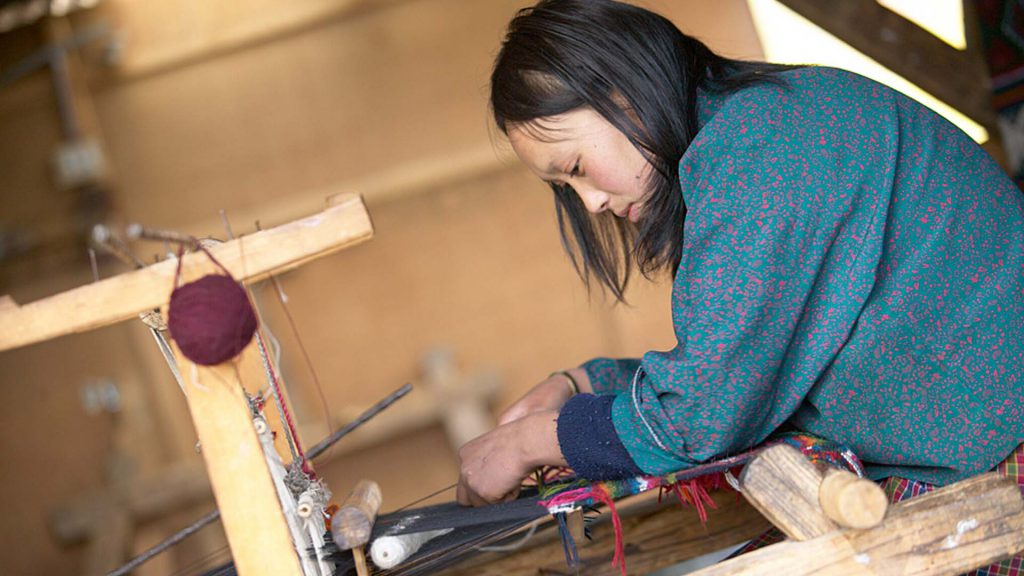
Unveiling Bhutanese Textile
- 15 Nights Bhutanese Textile Tour
- Special Discounts available
- USD 5065 onwards
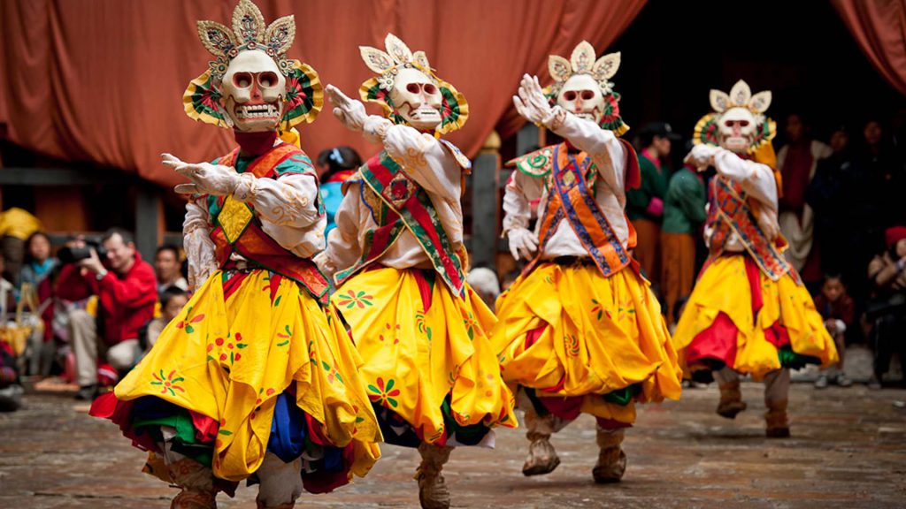
Thangbi Mani Festival Tour
- 10 Nights Bhutan Festival Tour
- Special Discounts available
- USD 3390 onwards
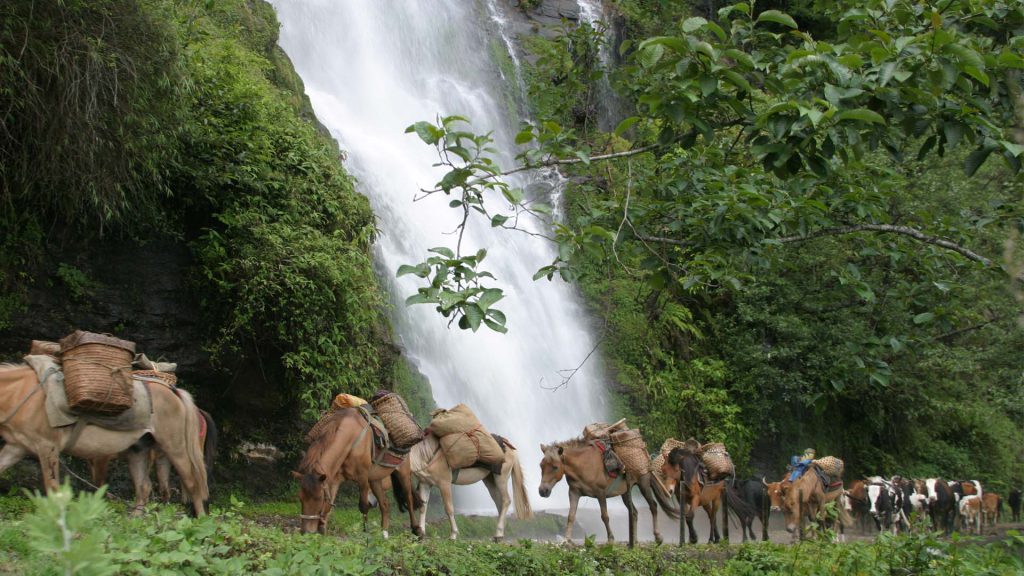
The Dagagla Ancient Trail
- 14 Nights Thimphu to Dagana Trek
- Special Discounts available
- USD 4730 onwards
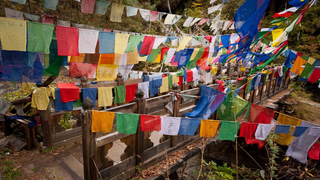
A Photo Journey in Bhutan
- 8 Nights Bhutan Photography Tour
- Special Discounts available
- USD 4070 onwards
Happiness and Hikes
- 6 Nights Rejuvenating Bhutan Travel
- Special Discounts available
- USD 2050 onwards
